Blog
GURU supports your major economic development workflows with integrated, cutting-edge features.
Insist on Esri Data. Site Selectors Do
Key Takeaway: EDOS that do not provide the depth, breadth and quality of data site selectors are looking for are at a major disadvantage. The Esri data set is by far the deepest, broadest, and most accurate available, which is why it is the data most requested by site selectors. GIS WebTech provides the only technology for economic development with real-time access to the entire Esri data set, and the only technology built on the Esri platform.
Site selection screening is now nearly always done online, and economic developers not providing the right data and the right online user experience in a GIS app are missing opportunities. In an earlier blog post, we discussed how bad user experience is the silent killer: if users cannot find what they need quickly and easily, they will simply move on to consider other locations. For a quick discussion of how you can ensure you are providing a user experience that keeps site selectors engaged, take a look at that post.
But what about the data on your site? User experience is a crucial component of a winning GIS app, but providing the right data is equally important. The high value businesses and site selectors place on Esri data is one of the principle reasons we chose to build our app, the latest and most advanced technology available, on the Esri platform.
Three things define the value of the data you provide: depth, breadth and quality. Esri is the leader in all three.
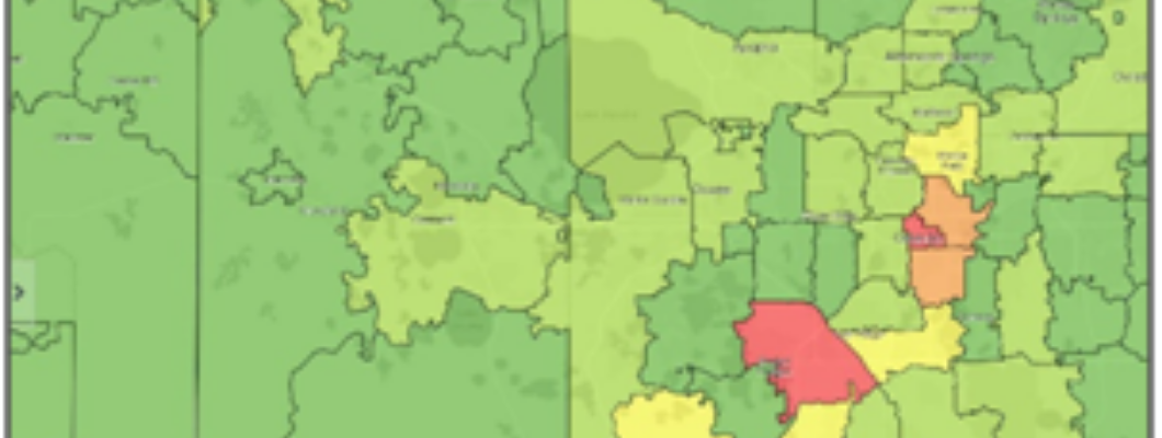
Depth of data allows sophisticated businesses to dig into the variables that matter to their particular sector. A great example is population data. All demographic data sets provide population data, but many businesses need to go deeper. Consider a business that needs to understand commuting trends, or wants to understand the number of workers in an area during normal business hours, or the population they can serve from a location of interest during regular operating hours.
For these companies overall population is not a very meaningful variable, and instead they need to see daytime population, ideally broken out by workers vs residents. EDOs can create distinct competitive advantage in attracting businesses like these by providing detailed population data like daytime worker population, population by language spoken, population by Tapestry segment, etc. The Esri demographic data set is the only data set providing these and thousands of other detailed demographic variables — allowing businesses to do the deep dive they require and allowing EDOs to keep those businesses engaged and interested. If you are using a legacy technology incorporating cheaper data from another source, you are not providing this level of detail and, as a result, you are probably missing out on opportunities.
Esri also provides the greatest breadth of data. A simple comparison of numbers illustrates the point: by being built natively on the Esri platform and providing real-time access to the entire Esri data set, EDOs
using our app provide over 14,000 variables. Legacy technologies, in contrast, provide a few dozen. Beyond demographic data, the Esri data set also includes a wealth of business and economic data useful to site selectors. Want to see where consumers are located for the Tapestry segments you target? Easy, just select the Tapestry segments of interest. Need to understand leakage or surplus for a particular retail sector? No problem, just select the retail sector. These are great examples of data that businesses need that are available in the Esri database and nowhere else.
The most important consideration is data quality, and this is where Esri stands head and shoulders above all others. Esri data has been shown in blind,independent studies to be the most accurate data available. This is why Esri is the data most requested by businesses and widely considered the gold standard for data accuracy.
Data depth, breadth and accuracy is why the overwhelming share of professional site selectors do their initial screening using Esri data. If you are not providing Esri data in your GIS app and are lucky enough to have a site selector contact you anyway, you are likely to be questioned on the sources and quality of your data. Providing Esri data in your GIS app eliminates this issue, and the risk it creates, entirely.
I’d love to discuss this in more detail, so please feel free to reach out at ron@giswebtech.com.